

 SR/ZKHC-8000XP Counter Drone
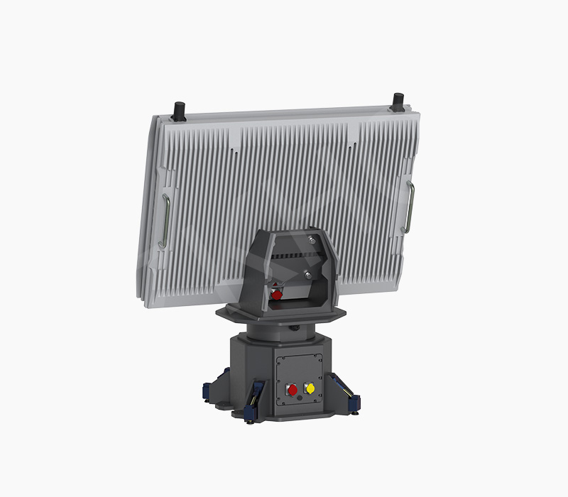
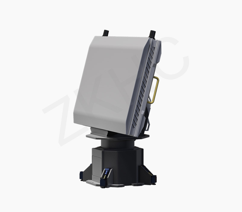
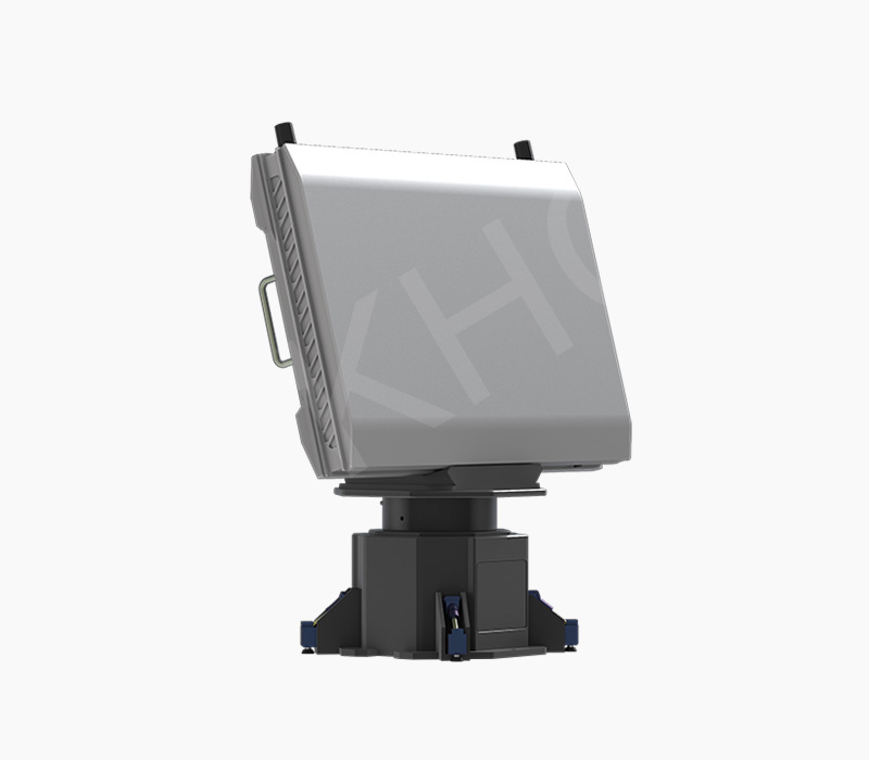
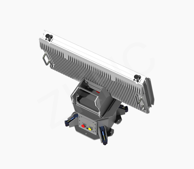
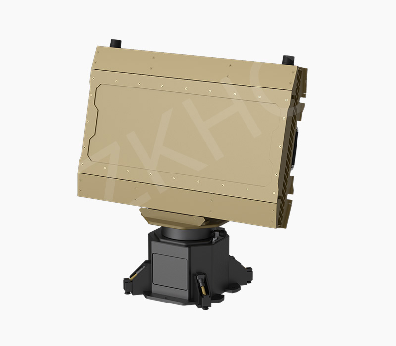
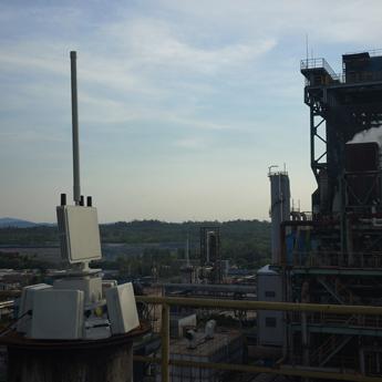
Product Overview:The 226 Series features all-weather, all-time operation capability, adapting to harsh environments such as night, rain, snow, fog, and dust. It provides highly sensitive real-time target detection and timely tracking and display. It is mainly used for drone detection, alerting, and target indication in key areas such as borders, airports, and military bases, and can accurately provide target trajectory information.
Application Features:
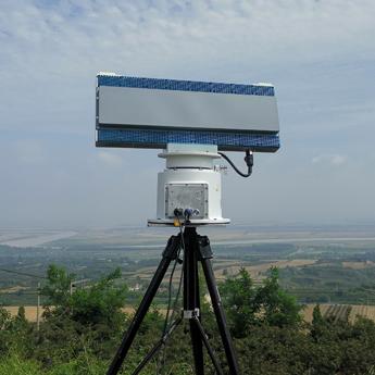
DBF Technology:Adopts advanced DBF (Digital Beamforming) technolo-gy, enabling multi-beam transmission to enhance anti-jamming performance. Radar and video fusion achieves blind-spot-free coverage, enabling active three-dimensional defense.
Optional C, X, and S Bands:Supports flexible configurations in C-band, X-band, and S-band to meet different application requirements across scenarios.
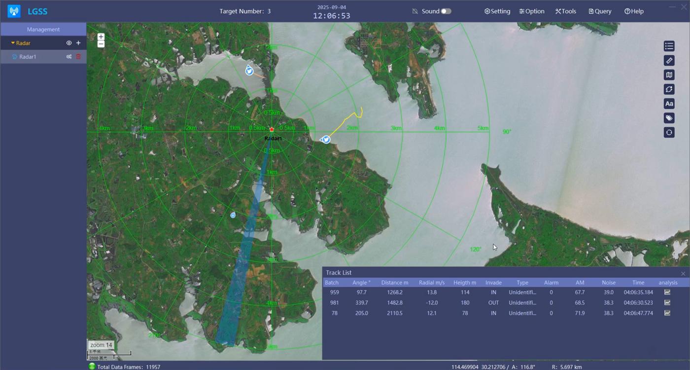
Multi-Target Detection:Capable of simultaneously monitoring up to hundreds of targets, with easy deployment and high flexibility.
Long Detection Range:Equipped with advanced sensor configurations widely used in land, sea, and air domains, providing effective drone detection ranges from 100m to 5.0km, enabling long-distance surveillance.
 Product Parameters
 Common uses
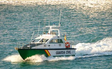
Inshore waters, docks and aquaculture zones are high-risk for smuggling and theft.
Complex marine environment and wide coverage make traditional monitoring and patrols ineffective at night, with limited range, blind spots and slow response, failing to stop small covert vessels’ illegal activities.
Multidimensional Detection: Covers UAVs (up to 5km), birds and small aircraft, enabling target classification and trajectory prediction.
All-Weather Operation: Performs reliably in rain, fog, darkness and sandstorms, stably tracking highly maneuverable targets with industry-leading low false-alarm rate.
Rapid Response: Phased array technology + high refresh rate, achieving second-level detection and alerting to support fast defense decision-making.

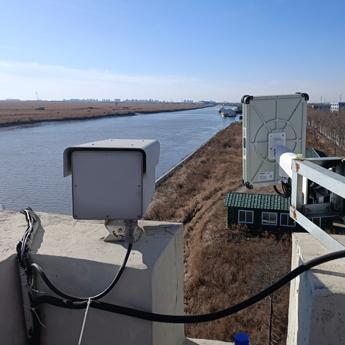
Power grids, oil & gas stations, nuclear power plants, data centers and chemical parks are vital to national economy and people’s livelihood.
Illegal reconnaissance, sabotage and terrorist attacks could cause large-scale shutdowns and public security disasters.
Powered by phased array radar, it replaces traditional security for intelligent perimeter and zone monitoring.
It accurately detects personnel and vehicle intrusions, outputs tracks and speed automatically, and integrates with access control and cameras.
Full automation of warning – forensics – response improves security efficiency and safety.

Coastal waters cover inshore zones, ports, coastal defense areas, aquaculture, berths, warehouses and critical water facilities. As a key frontline for border, public and asset security, they feature wide coverage, harsh environments and concealed violations, representing a weak link in security defense.
Multidimensional Detection: Covers UAVs (up to 5km), birds and small aircraft, enabling target classification and trajectory prediction.
All-Weather Operation: Performs reliably in rain, fog, darkness and sandstorms, stably tracking highly maneuverable targets with industry-leading low false-alarm rate.
Rapid Response: Phased array technology + high refresh rate, achieving second-level detection and alerting to support fast defense decision-making.

Intrusion into the clear airspace may cause flight delays, diversions, go-arounds, and even mid-air collisions, constituting a Level 1 risk source for civil aviation safety. Clear airspace control and prevention are mandatory by policy; failure to adopt effective measures will result in major liability.
Multidimensional Detection: Covers UAVs (up to 5km), birds and small aircraft, enabling target classification and trajectory prediction.
All-Weather Operation: Performs reliably in rain, fog, darkness and sandstorms, stably tracking highly maneuverable targets with industry-leading low false-alarm rate.
Rapid Response: Phased array technology + high refresh rate, achieving second-level detection and alerting to support fast defense decision-making.


© Copyright. Wuhan Zhongke Hongchuan Technology Co., Ltd 2025-2026.